I decided I needed to do some longer rides before embarking on the MRT tour. So I mapped out a 50-mile loop to do today. Here is a link to the planned route. Probably needless to say, I took a more scenic route. Here is a link to what I actually rode. You may notice this is not actually a loop! I had to call in Seth to pick me up! I'll get to the details after the numbers (which include the three mile hike, more on that below too):
Time: 4:31:53
Distance: 52.224 miles
Average Speed: 11.5 mph
Max Speed: 46.2 mph
Calories Burned: 1826.8
Fat Burned: 180.4 g
So the ride was actually mostly nice. I really enjoyed most of it.
I left my house and headed to Bloomington Bagel Company for breakfast.

I headed north through Cascade Park and messed up some directions. No worries there though. It's kind of a weird little intersection and I got turned around soon enough. Although I did have to take an unplanned detour up the Tibetan Buddhist Temple hill. Unlike last time, I made it up it easily. I thought about taking a picture of the temple, but decided just to go up the hill. Next time. :)
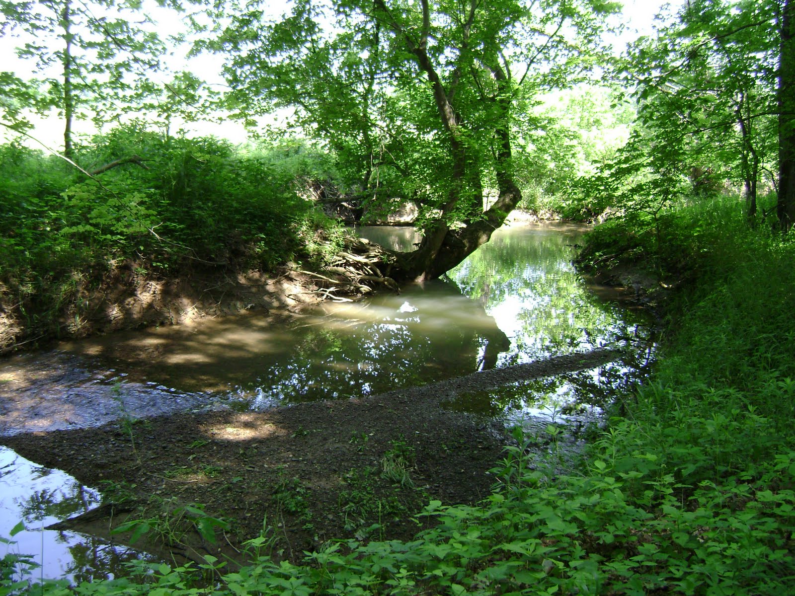
I continued up Kinser Pike and saw more of those fields of yellow flowers. A creek ran along the other side of the road.

I also saw lots of cows.

I stopped briefly at Musgrave Orchard for some pictures. I love their cider in the fall.

I went up a hill with a lake next to it and thought about taking a picture, but once again decided to just tackle the hill. I made it up it, went back down it, and then climbed to the entrance of Morgan Monroe State Forest. I stopped to take a picture of the entrance sign... and realized I'd left my camera back at the orchard! So I just pretended like I meant to do some "hill repeats" and luckily retrieved my camera at the orchard. I stopped to take a picture of the lake the second time. And learned that I should stop to take pictures the first time! I could have avoided some hills!


This is where the story goes downhill, figuratively speaking. I had mapped out the route to see as much of the state forest as I could. However, I should have just followed the sign once I got there because the roads I picked were not good roads and it should have been obvious since all state-foresty things pointed right, but my route went left. I followed my route anyway. It was nice for a while, but then it got to a fork, unmarked, with the right direction being gravel. I didn't want to ride on gravel, so I kept going on my paved road assuming I just hadn't reached my turn yet. I made it all the way to a T intersection with a road that I wasn't supposed to turn onto and, in fact, was too far north to even be on my map! So I asked a man doing some yardwork how to get where I was trying to go and it turned out that the gravel fork was where I was supposed to go. He said it was only about a mile or so of gravel so I figured I'd make it. So I backtracked and took the fork.
Holy uphill gravel roads, Batman!
I've been reading a lot of crazyguyonabike journals lately, and one of the authors said that non-cyclists have no clue how far things actually are. I'm inclined to believe him, because it turns out that the "one-mile" gravel road was actually three miles. And it was completely unrideable. So I had a little three mile hike when I really wanted to be eating lunch. I did eventually make it back to nice paved roads, but I was way behind schedule.
I ended up eating lunch in the campground instead of by the lake as planned. I didn't stay too long because I was swarmed by bugs.

And I finally got on the road again about 3:00 pm. Once I got out of the park, I was on an open road with no shade and it was hot! When I got home, weather.com listed it at 93*F. Then a 10-15 mph headwind picked up. It was all I could do to cruise at 10 mph on a flat road. I only made it to 14 mph going downhill! I took a little rest at a church then continued onward. I only made it to the Bloomington Firehouse before I had to call it quits. I just didn't think I could make it the ten miles or so back to my house. Plus I didn't even want to think about the hill on Dunn St!
heat + hills + headwind = HARD!
Lucky for me, Seth came and picked me up. I don't feel too bad about quitting. I went further than anticipated and did quite well all things considered. I'm pretty confident that I'll be fine on the MRT trip in three weeks. And, really, until the gravel roads, it was really a great ride. I'll probably try it again, but follow the signs instead. :)
No comments:
Post a Comment